Project Plan

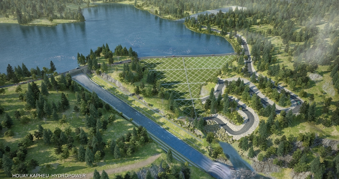
HOUAY KAPHEU HYDRO POWER PLANT
- by Super User
-
in Public
-
Hits: 722
The headworks of houay Kapheu HHP is located in Houay Kapheu river,being a 1rst branch river of Sedon river,belonging to Xiengmai village,Lao Ngam district of Saravane province . Dam site is proposed to construct about 20 Km from Pakxong to south, 45 Km from Pakse to south west,about 14 Km from Laongam to north, 60 Km from Sekong to north east .It is geographical coordinates are within: 15°21'18" Northern latitude and 106°9'42" longitude
The catchment area is 24 Km2.
a) Group of Houay Kapheu ‘s reservoir:
Reservoir
Normal water level of reservoir : 923 m
Dead water level is 914 m
Area of reservoir surface confirming to NWL is 0.48 Km2.
Weir crossing river:
Type of weir : central little pervious core earth dam
Max dam height : 32.05 m
Crest elevation : 928 m
Crest length : 230m
Spillway:
Chute width : 15 m
Chute length: 138 m
Difference elevation : 33 m
Stilling basin length: 35 m
b) Power conduct:
Approach Channel, Power intake, Headrace canal, Forebay, Penstock, Power station
c) Houay Chalang weir: Pondage, Weir, Water intake,
d) Houay Pasiew weir: Pondage, Weir, Water intake
e) Tail waterirrigation works: regulating pond before weir, regulating weir,irrigation area
f) Transmission line 22 kV
Installed capacity : 5 MW
Annual average energy output : E0 = 22.39 x 10⁶ KWh
Turbine type : horizontal Pelton
Number of units : Z = 2 units
FIRR : 11.2%
EIRR : 10.5 %
Payback period : 24 years
Total investment cost estimate : 13,722,000 USD
Comments
- No comments found


Leave your comments